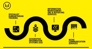
GIS services are increasingly relevant in today’s world of climate change, disaster related scenarios and war torn countries. Understanding and accurate analysis of the humanitarian needs, logistical routes, capacities on the ground, overviews and statistical analyses can make all the difference. We provide the services that can create all the information, then analyze and reproduce the crucial information in a format that is at once understandable, relevant and factual to all. Some of these are included above.
INCLUDES
- Spatial analysis (community development, where to place community service centers, route planning, etc…)
- Mapping and data services
- Using GPS and GIS in situation assessments and surveys
- Natural resources management information systems (land cover mapping, change analysis, etc…)
- Interpretation and analysis of remote sensing imagery
- Boundary demarcation
- Consulting and GIS project management solution
- Specialist GPS and GIS training